Map showing 18 class – Catchment scale land...
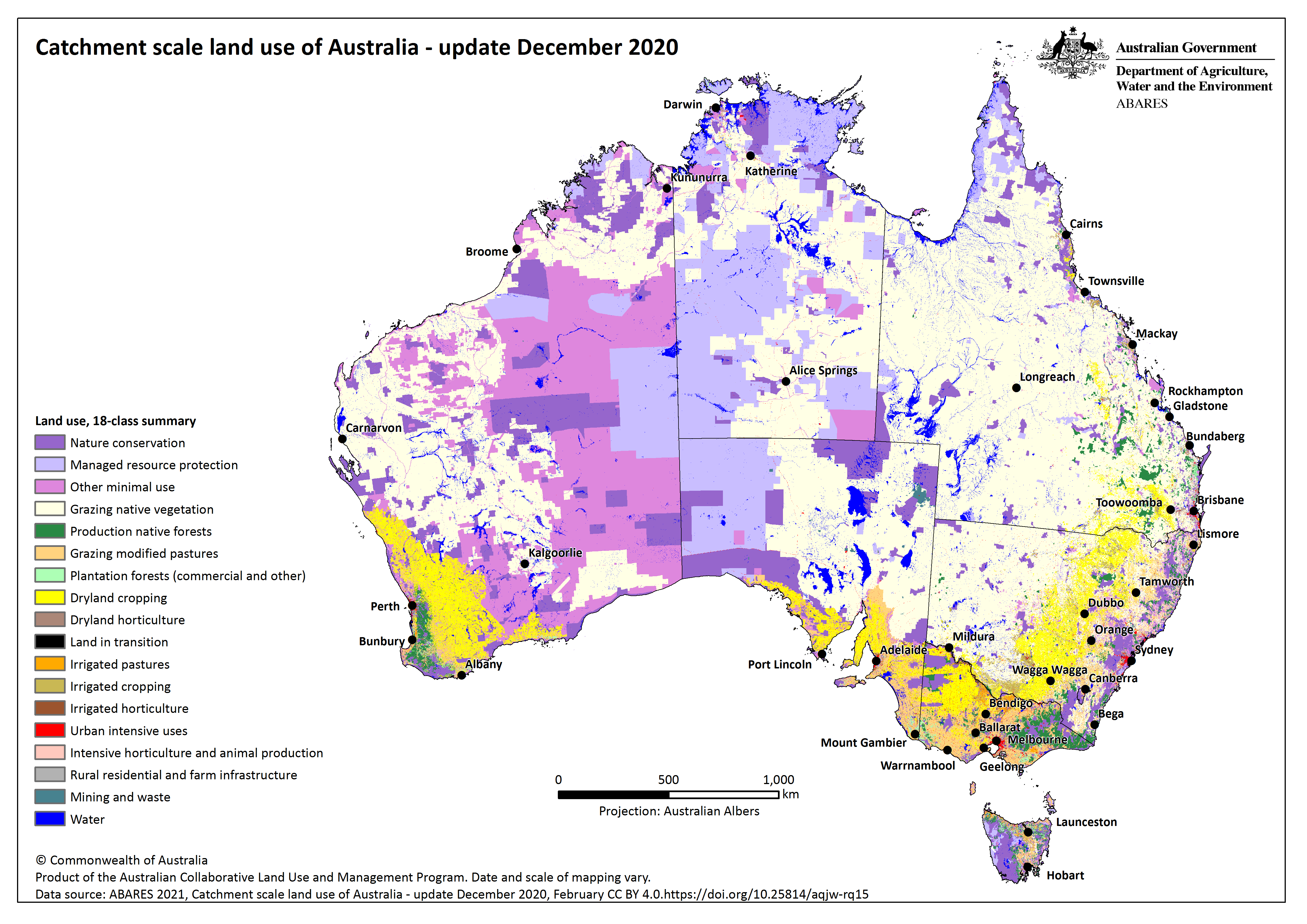
PNG map showing the Catchment scale land use of Australia – Update December 2020 depicted using the 18 class classification from the Australian Land Use and Management Classification (ALUMC) version 8.
Source
This data file or API can be downloaded from:
https://www.agriculture.gov.au/sites/default/files/images/clum_map_december2020_alum_18class.pngResources
Additional Information
| Field | Value |
|---|---|
| Data last updated | February 25, 2021 |
| Metadata last updated | November 13, 2024 |
| Format | PNG |
| License | Creative Commons Attribution 4.0 International |
| Datastore active | False |
| Datastore contains all records of source file | False |
| Has views | True |
| Id | 83d474d0-6e92-43be-8888-ea92107fdffb |
| Mimetype | image/png |
| Package id | 97bb9e54-f0df-4073-9288-e0ebded53a96 |
| Position | 6 |
| State | active |
| Zip extract | False |
| Size | Unknown |
| ID | 83d474d0-6e92-43be-8888-ea92107fdffb |
| Harvested | False |
| Package ID | 97bb9e54-f0df-4073-9288-e0ebded53a96 |
| State | Archived |