Windmill Islands flying bird nesting areas and adelie penguin colonies from field work by Eric Woehler
Created 13/03/2025
Updated 13/03/2025
Files and APIs
Tags
Additional Info
| Field | Value |
|---|---|
| Title | Windmill Islands flying bird nesting areas and adelie penguin colonies from field work by Eric Woehler |
| Language | eng |
| Licence | Not Specified |
| Landing Page | https://devweb.dga.links.com.au/data/dataset/2fa8a846-0fb8-440b-9e12-acc1a8688a1c |
| Contact Point | |
| Reference Period | 01/11/1983 - 16/12/2005 |
| Geospatial Coverage |
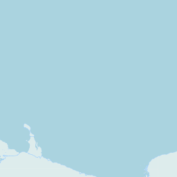   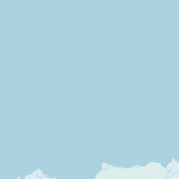 Map data © OpenStreetMap contributors
|
| Data Portal | Data.gov.au |