Tennant Region Infill Gravity Survey, NT (P199117), gravity point data
ARCHIVED
Created 20/01/2025
Updated 20/01/2025
Files and APIs
-
URLFile available for download in various formats from the GADDS2 portalLicense Not Specified
-
application/x-netcdfTennant Region Infill Gravity Survey, NT (P199117), gravity point data file downloadLicense Not Specified
-
HTMLTennant Region Infill Gravity Survey, NT (P199117), gravity point data OPeNDAPLicense Not Specified
Tags
Additional Info
| Field | Value |
|---|---|
| Title | Tennant Region Infill Gravity Survey, NT (P199117), gravity point data |
| Language | eng |
| Licence | Not Specified |
| Landing Page | https://devweb.dga.links.com.au/data/dataset/453a223d-f429-4ba5-b0f7-ccd6761f4e25 |
| Contact Point | |
| Reference Period | 27/11/1991 - 20/12/1991 |
| Geospatial Coverage |
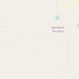    Map data © OpenStreetMap contributors
{
  "coordinates": [
    [
      [
        133.7819,
        -19.5282
      ],
      [
        134.1516,
        -19.5282
      ],
      [
        134.1516,
        -19.2692
      ],
      [
        133.7819,
        -19.2692
      ],
      [
        133.7819,
        -19.5282
      ]
    ]
  ],
  "type": "Polygon"
}
|
| Data Portal | Data.gov.au |