Cobar magnetic and radiometric survey, NSW, 2021 (P5009), Extension 4, radiometric line data
ARCHIVED
Created 13/01/2025
Updated 13/01/2025
Files and APIs
-
URLFile available for download in various formats from the GADDS2 portalLicense Not Specified
-
application/x-netcdf
-
HTML
Tags
Additional Info
| Field | Value |
|---|---|
| Title | Cobar magnetic and radiometric survey, NSW, 2021 (P5009), Extension 4, radiometric line data |
| Language | eng |
| Licence | Not Specified |
| Landing Page | https://devweb.dga.links.com.au/data/dataset/917160f5-376e-4775-a4c1-21dab91fdfe5 |
| Contact Point | |
| Reference Period | 08/06/2021 - 10/08/2021 |
| Geospatial Coverage |
 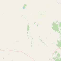  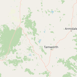 Map data © OpenStreetMap contributors
{
  "coordinates": [
    [
      [
        146.442785,
        -31.882118
      ],
      [
        146.660218,
        -31.882118
      ],
      [
        146.660218,
        -31.752524
      ],
      [
        146.442785,
        -31.752524
      ],
      [
        146.442785,
        -31.882118
      ]
    ]
  ],
  "type": "Polygon"
}
|
| Data Portal | Data.gov.au |