Buchanan Gravity (P199130), gravity point data
ARCHIVED
Created 20/01/2025
Updated 20/01/2025
Files and APIs
-
URLFile available for download in various formats from the GADDS2 portalLicense Not Specified
-
application/x-netcdfBuchanan Gravity (P199130), gravity point data file downloadLicense Not Specified
-
Tags
Additional Info
| Field | Value |
|---|---|
| Title | Buchanan Gravity (P199130), gravity point data |
| Language | eng |
| Licence | Not Specified |
| Landing Page | https://devweb.dga.links.com.au/data/dataset/0a85e31a-1aeb-4196-9a96-9148cb419e0a |
| Contact Point | |
| Reference Period | 01/01/1991 - 31/12/1991 |
| Geospatial Coverage |
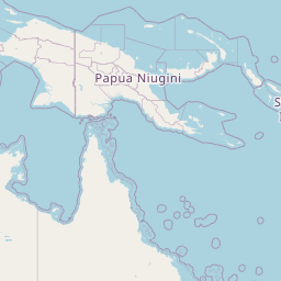    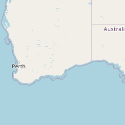  Map data © OpenStreetMap contributors
|
| Data Portal | Data.gov.au |