Hastings River - Flood Study - Flood Extents
Created 07/06/2025
Updated 07/06/2025
Files and APIs
Tags
Additional Info
| Field | Value |
|---|---|
| Title | Hastings River - Flood Study - Flood Extents |
| Language | English |
| Licence | lsba |
| Landing Page | https://devweb.dga.links.com.au/data/dataset/c33c3ecf-e395-4d1c-b308-a31b0c36ce14 |
| Remote Last Updated | 16/09/2022 |
| Contact Point | |
| Reference Period | 02/02/2022 - 29/08/2006 |
| Geospatial Coverage |
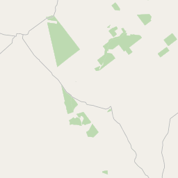 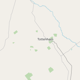 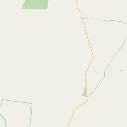 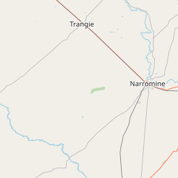  Map data © OpenStreetMap contributors
|
| Data Portal | DataNSW |
Data Source
This dataset was originally found on
DataNSW
"Hastings River - Flood Study - Flood Extents". Please visit the source to access the original metadata of the
dataset:
https://data.nsw.gov.au/data/dataset/nsw-fdp-hastings-river-flood-study-flood-extents