Desert Uplands Plot Network: Vegetation Survey (Presence Data, Species Richness and Stem and Hollow Counts) for Plot WOUR20, Northern Queensland, Australia, 2013

ARCHIVED

Created 21/01/2025

Updated 21/01/2025

The LTERN Desert Uplands Plot Network Vegetation Survey Data contains presence data, species richness data and structural data for 1 of 60 (50 after 2008) permanent 1 hectare plots in Northern Queensland, Australia. This data publication refers specifically to observations made at Plot WOUR20, and this data is accessible as a composite data package at the following location: Metcalfe, D; Vanderduys, E (2014): Desert Uplands Plot Network: Vegetation Survey (Presence Data, Species Richness and Stem and Hollow Counts), Northern Queensland, Australia, 2013. Long Term Ecological Research Network. http://www.ltern.org.au/knb/metacat/ltern2.143.33/html The CSIRO permanent plots are situated in Tropical Ironbark Woodlands, and extend across four leasehold cattle properties that lie within an area approximately 50km by 50km. The plots represent three vegetation management strategies, namely: 1) clearing (where all trees and shrubs are removed); 2) thinning (where ground and midstorey vegetation is removed); and 3) unmodified native woodlands where significant thinning or clearing has not occurred. The Desert Uplands research plots commenced in 2004, and have been revisited in 2005, 2006, 2008 and 2013. A synopsis of related data packages which have been collected as part of the Desert Uplands Plot Network’s full program is provided at http://www.ltern.org.au/index.php/ltern-plot-networks/desert-uplands

Files and APIs

Tags

Additional Info

Field Value
Title Desert Uplands Plot Network: Vegetation Survey (Presence Data, Species Richness and Stem and Hollow Counts) for Plot WOUR20, Northern Queensland, Australia, 2013
Language eng
Licence Not Specified
Landing Page https://devweb.dga.links.com.au/data/dataset/05b6355d-a77b-4c24-a980-da483ada2385
Contact Point
Environment Protection Authority (EPA) Victoria
esupport@tern.org.au
Reference Period 01/01/2013 - 01/01/2013
Geospatial Coverage
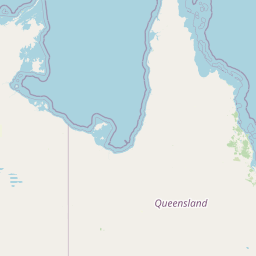
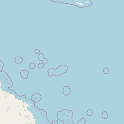
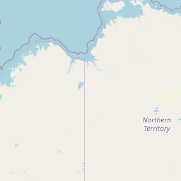
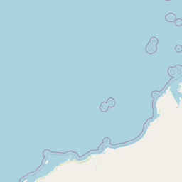
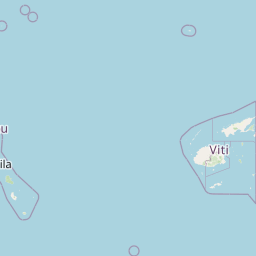
Map data © OpenStreetMap contributors
Data Portal Data.gov.au