Gippsland Basin Gravity P201430 CSCBA267GU
ARCHIVED
Created 13/01/2025
Updated 13/01/2025
Files and APIs
-
URLFile available for download in various formats from the GADDS2 portalLicense Not Specified
-
application/x-netcdfGippsland Basin Gravity P201430 CSCBA267GU file downloadLicense Not Specified
-
-
-
-
Tags
Additional Info
| Field | Value |
|---|---|
| Title | Gippsland Basin Gravity P201430 CSCBA267GU |
| Language | eng |
| Licence | Not Specified |
| Landing Page | https://devweb.dga.links.com.au/data/dataset/dc8e27f0-04ac-44c7-8b74-20dca5e2fcce |
| Contact Point | |
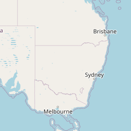
| Reference Period | 01/07/2014 - 21/07/2014 |
| Geospatial Coverage |
   Map data © OpenStreetMap contributors
{
  "coordinates": [
    [
      [
        145.3409,
        -38.9934
      ],
      [
        146.8833,
        -38.9934
      ],
      [
        146.8833,
        -37.9518
      ],
      [
        145.3409,
        -37.9518
      ],
      [
        145.3409,
        -38.9934
      ]
    ]
  ],
  "type": "Polygon"
}
|
| Data Portal | Data.gov.au |