L189 Gawler-Curnamona-Arrowie Deep Crustal Seismic Survey, SA , 2008. Stacked and Migrated Data and Images for Arrowie line 08GA-A1
ARCHIVED
Created 13/01/2025
Updated 13/01/2025
Files and APIs
Tags
Additional Info
| Field | Value |
|---|---|
| Title | L189 Gawler-Curnamona-Arrowie Deep Crustal Seismic Survey, SA , 2008. Stacked and Migrated Data and Images for Arrowie line 08GA-A1 |
| Language | eng |
| Licence | Not Specified |
| Landing Page | https://devweb.dga.links.com.au/data/dataset/8c6ec80f-cd98-4301-bc92-c6a1f999c2d9 |
| Contact Point | |
| Reference Period | 22/04/2018 |
| Geospatial Coverage |
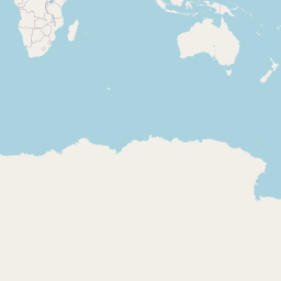 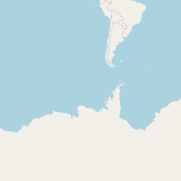 Map data © OpenStreetMap contributors
|
| Data Portal | Data.gov.au |