Pasminco Cobar Data (P199324), gravity point data
ARCHIVED
Created 13/01/2025
Updated 13/01/2025
Files and APIs
-
URLFile available for download in various formats from the GADDS2 portalLicense Not Specified
-
application/x-netcdfPasminco Cobar Data (P199324), gravity point data file downloadLicense Not Specified
-
Tags
Additional Info
| Field | Value |
|---|---|
| Title | Pasminco Cobar Data (P199324), gravity point data |
| Language | eng |
| Licence | Not Specified |
| Landing Page | https://devweb.dga.links.com.au/data/dataset/b146a439-93c8-4946-84af-94fc7479a752 |
| Contact Point | |
| Reference Period | 01/01/1993 - 31/12/1993 |
| Geospatial Coverage |
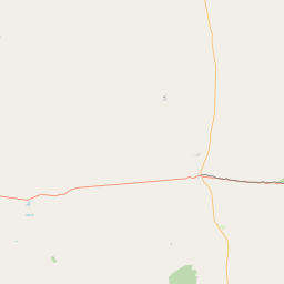 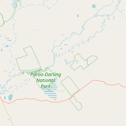 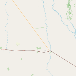 Map data © OpenStreetMap contributors
|
| Data Portal | Data.gov.au |