Photographic documentation of some of the impacts of a 1-in-30 year storm on the ocean beach at Manly, NSW (8th June, 2007)
Created 13/03/2025
Updated 13/03/2025
Files and APIs
Tags
Additional Info
| Field | Value |
|---|---|
| Title | Photographic documentation of some of the impacts of a 1-in-30 year storm on the ocean beach at Manly, NSW (8th June, 2007) |
| Language | eng |
| Licence | Not Specified |
| Landing Page | https://devweb.dga.links.com.au/data/dataset/deee4e2f-1b0e-4650-bd7e-1b50a5f56d2f |
| Contact Point | |
| Reference Period | 13/06/2007 - 13/06/2007 |
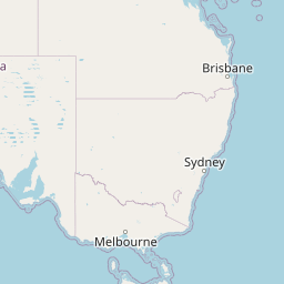
| Geospatial Coverage |
     Map data © OpenStreetMap contributors
{
  "coordinates": [
    [
      [
        151.0,
        -34.5
      ],
      [
        151.5,
        -34.5
      ],
      [
        151.5,
        -33.5
      ],
      [
        151.0,
        -33.5
      ],
      [
        151.0,
        -34.5
      ]
    ]
  ],
  "type": "Polygon"
}
|
| Data Portal | Data.gov.au |