Sample of CSIRO NWS data locations
Created 05/05/2025
Updated 05/05/2025
Files and APIs
Tags
Additional Info
| Field | Value |
|---|---|
| Title | Sample of CSIRO NWS data locations |
| Language | English |
| Licence | Not Specified |
| Landing Page | https://devweb.dga.links.com.au/data/dataset/97242314-442d-4961-8b4b-f743168ef330 |
| Remote Last Updated | 25/05/2022 |
| Contact Point | |
| Reference Period | 04/03/2016 |
| Geospatial Coverage |
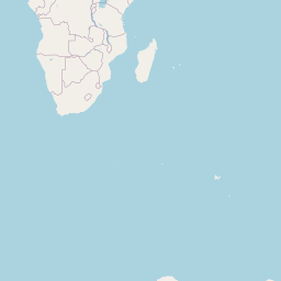    Map data © OpenStreetMap contributors
|
| Data Portal | Western Australia Government |
Data Source
This dataset was originally found on
Western Australia Government
"Sample of CSIRO NWS data locations". Please visit the source to access the original metadata of the
dataset:
https://catalogue.data.wa.gov.au/dataset/sample-of-csiro-nws-data-locations