WAMSI Node 6.2 - The Impact of tides and internal waves on offshore engineering - field measurement program - Ningaloo / Tantabiddi - 75m
Created 13/03/2025
Updated 13/03/2025
Files and APIs
Tags
Additional Info
| Field | Value |
|---|---|
| Title | WAMSI Node 6.2 - The Impact of tides and internal waves on offshore engineering - field measurement program - Ningaloo / Tantabiddi - 75m |
| Language | eng |
| Licence | Not Specified |
| Landing Page | https://devweb.dga.links.com.au/data/dataset/e6d53e99-08f9-43b2-aa9d-b6e0a3071004 |
| Contact Point | |
| Reference Period | 21/11/2017 |
| Geospatial Coverage |
 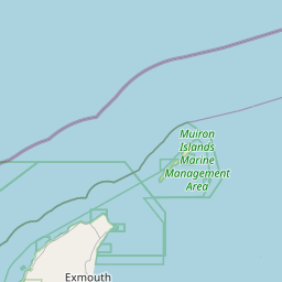  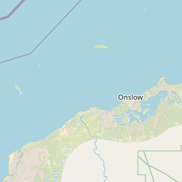    Map data © OpenStreetMap contributors
|
| Data Portal | Data.gov.au |