Water quality, plume modelling and tracking before and during dredging in Mermaid Sound, Dampier W.A.

Created 13/03/2025

Updated 13/03/2025

A water quality monitoring program established to coincide with the Mermaid Sound dredging projects in 2004 for assessed turbidity, suspended sediments and other parameters (Dissolved Oxygen, pH, Temperature, Salinity) every three days to start then weekly. To assist in locating monitoring sites - a model of sediment transport was developed. Also throughout the dredging program aerial surveys of the dredging location, monitoring locations and surrounding areas were undertaken on a weekly basis. They were flown of the same day as the water monitoring trip to allow for cross-referencing of visual observations and actual data.

Files and APIs

Tags

Additional Info

Field Value
Title Water quality, plume modelling and tracking before and during dredging in Mermaid Sound, Dampier W.A.
Language eng
Licence Not Specified
Landing Page https://devweb.dga.links.com.au/data/dataset/3f0ac24b-1fdd-4356-aba9-6fc148689d31
Contact Point
CSIRO Oceans & Atmosphere
admin@mscience.net.au
Reference Period 06/01/2004 - 24/05/2004
Geospatial Coverage
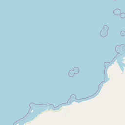
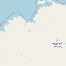
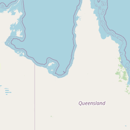
Map data © OpenStreetMap contributors
{
  "coordinates": [
    [
      [
        116.5,
        -21.0
      ],
      [
        117.0,
        -21.0
      ],
      [
        117.0,
        -20.5
      ],
      [
        116.5,
        -20.5
      ],
      [
        116.5,
        -21.0
      ]
    ]
  ],
  "type": "Polygon"
}
Data Portal Data.gov.au